Your shopping cart is empty!
£0.00
£0.00
Categories
- Above Deck
- Below Deck
- Navigation Electronics
- Boat Maintenance
- Boats & Outboards
- Clothing
- Bookshelf
- Safety
- Gifts & Goodies
-
Special Offers
- Safety Specials
- Stocking Fillers
- Fender Frenzy
- Clothing Clearout
- Rope Reductions
- Maintenance Must Haves
- Anchors Aweigh
- Crewsaver Cost Cutters
- Sailwear Specials
- Ho Ho Holebrook
- Anode Offers
- Laying Up List
- Bookshelf Baubles
- Deckshoe Deals
- Christmas Classics
- Barnacle Busters
- Gifts Under £500
- Gifts Under £100
- Gifts Under £50
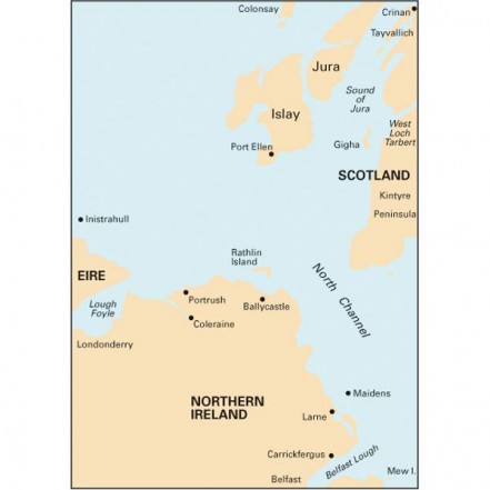
 Imray C64 Chart North Channel
Free shipping on all UK Mainland orders over £100
Orders received before 3pm shipped same day
The north-east coast of Ireland from Lough Foyle to Larne, and the Scottish coast from the Mull of Kintyre north to Crinan and Colonsay. Scale 1:160,000. One-minute gridlines. Larger scale plans of Loch Sween (Tayvallich), Port Ellen (Islay), West Loch Tarbert, West Loch Tarbert lower part, River Foyle to Londonderry, Lough Foyle, Portrush, Belfast Lough and Larne.
Outboard Offers View all
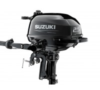
Suzuki DF2.5 Outboard Standard Shaft
Limited price drop deal on the Suzuki standard shaft DF2.5 outboard. Only while stocks last!The Suzu..
£755
£690
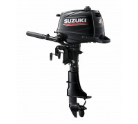
Suzuki Portable Outboards
The brand new 4hp, 5hp and 6hp models are lightweight, easy and quiet to use, incredibly reliable pl..
£1,200 - £1,390
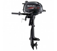
Suzuki Ultra Lightweight Outboard Motors
The lightest 2.5hp four stroke outboard available!Weighing only 13.5kg for the short shaft, the DF2...
£755

